Home>Resources>Web extensions and softwares>Cartography & networks
Cartography & networks
Tools for generating thematic maps, background maps or network data visualisations.

https://www.sciencespo.fr/cartographie/khartis/
Khartis is free, open source software developed by the Sciences Po Cartography Workshop. It enables users to create a thematic map in just a few steps.
Online help: Tutorials and documentation in French

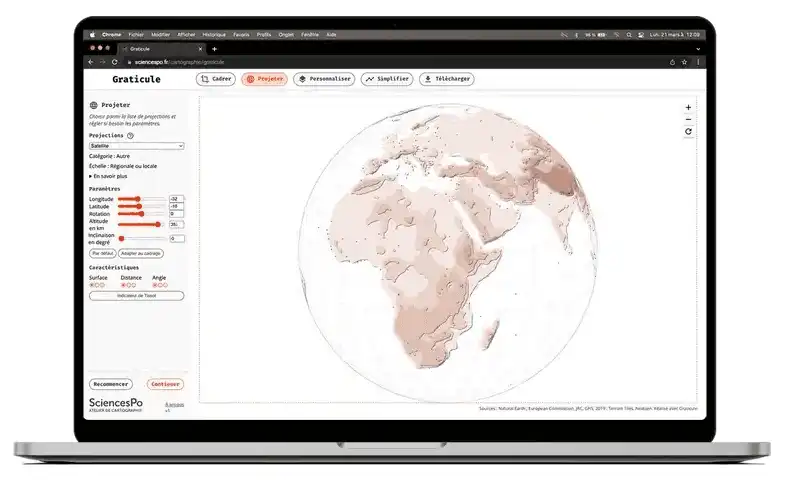
https://www.sciencespo.fr/cartographie/graticule/
Graticule, a free application developed by the Sciences Po Atelier de Cartographie, lets you create your own background map in 5 steps, during which you can fine-tune your projection, framing, centring, colours and the display of useful information (rivers, towns, relief, etc.).
Online Help: FAQ in French


Gephi is free software for network analysis and visualisation.
Technical requirements: Java version 11 (Mac, PC, Linux)
Online help: