Home>Before, During, and After: How Alex Chunet uses Data to Change the World
10.06.2022
Before, During, and After: How Alex Chunet uses Data to Change the World
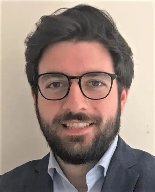
Alex Chunet graduated from the International Public Management Masters (IPM) from Sciences Po in 2016, after also completing his undergraduate degree with Sciences Po. The International Public Management Masters allowed him to build and customize his curriculum to his desired interests. “IPM was a great masters program which allowed me to acquire the knowledge necessary to manage and influence the action of public institutions as well as their internal processes” he says. “How you can both conceptualize and influence organizations internally, while determining how they fulfill their mandates.”
Alex then decided to specialize in a master of science in the Faculty of Geography and environment from the London School of Economics in 2017. “I wanted to dive deeper into the topics of regional development, planning, as well as acquire hard skills related to geographic information systems (GIS) and geospatial analytics” he says. At LSE he deepened his technical knowledge of GIS and statistics. The World Bank funded Alex’s masters thesis in 2017. After receiving funding, he worked at the World Bank from 2017 until 2020 as a consultant and geospatial data scientist.
During his time at the World Bank, Alex further developed his skills in geospatial data science. He attained various certifications, including a data science certificate from MIT and CNES, the French Space Agency. After this time spent honing his technical skills, Alex was hired as a Geospatial Strategy, Data, and Impact Evaluation Officer at the French Development Agency (AFD). In this position, Alex designed AFD’s first geospatial strategy.“I was raising awareness, training people, creating content showing what can be done with satellite imagery, and also conducting geospatial data analysis,” he says.
Alex started a partnership between AFD and CNES. Through this partnership, AFD receives support from the french space agency with the objective of mainstreaming the use of geospatial data and satellite imagery in its operations. After establishing this partnership, Alex joined the European Space Agency as a representative to the World Bank. Alex manages the partnership between ESA and the World Bank similarly to the partnership between AFD and CNES. “This comes back to the combination in my background between the technical aspects I learned later in my career, and internal change management and cooperation. Certainly, having studied at Sciences Po helped me better understand how those institutions function,” he says. His mission remains to push for the mainstreaming and adoption of geospatial data and satellite imagery within international financial institutions such as the World Bank.
The World Bank’s mandate is to aid the development of countries through financing, policy advice, and technical support and research. In this capacity, the World Bank lends money to developing countries and helps them organize strategies around infrastructure, urban planning, climate change, and other issues. Alex explains why satellite imagery is useful to support this mandate: “Satellite imagery is used to better understand the context before the operation… This helps the design of the operation and geographical targeting. For example, it helps determining the right neighborhood to target if the issue is deforestation. Once the operation has started, satellite imagery is used for monitoring. If the World Bank is funding the retrofitting of a neighborhood, you can use this data to monitor what is happening underground. Is the school really being built? Is it in good shape? The data can monitor that. Finally, satellite imagery and geospatial data is used to evaluate the impact of the completed operation. If the World Bank funds an irrigation system, satellite imagery and geospatial data can map and analyze crop yields.”
Geospatial data and satellite imagery are also vital tools to monitor climate change. Deforestation, agriculture, and urban expansion can all be monitored with this data. “There is increasingly more data available to monitor environmental indicators that are not visible to the human eye,” Alex says. “It could eventually capture greenhouse gas emissions… and you can use the data for disaster management. Before, you can determine what areas might be exposed to a flood. During, you have a clear picture of what has been destroyed. Afterwards, you can monitor the recovery.”
Alex explains the skills Sciences Po granted him that he uses in his important field. His introduction to statistics at Sciences Po laid the foundation for the technical skills he would develop later in his career. He says, “Regarding soft skills, Sciences Po taught me how to pitch an idea concisely and articulately. In the job I have now, this is how I build a network and sell ideas. I manage a partnership and coordinate eight different consortium partners. It is a skill that I find crucial.”
For students who are interested in a similar field, Alex leaves a word of advice: “Think sequentially about the way to reach your professional objective. First, it is necessary to have a long term professional objective in mind, even if it is relatively broad. In order to have a clear idea of the steps that need to be taken to achieve this long term objective, it is necessary to discuss with professionals and get their feedback. However, this does not mean that you have to set yourself a unique and immutable professional objective. At each step of the ladder you will have the opportunity to reframe and gear your career in a different direction, but thinking sequentially will allow you to maintain a consistent professional path and solid career.”

