Home>In search of lost cities

06.10.2017
In search of lost cities
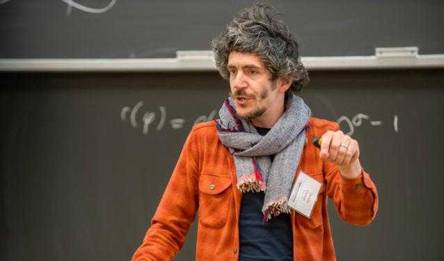
Thomas Chaney, a researcher in Sciences Po’s Department of Economics, specialises in international trade and finance and their underlying networks. His research mixes theoretical models with unexpected fields like... archeology. Find out how an economist set out to find lost cities armed with equations.
Where did the idea come from to look for cities of the Assyrian kingdom that disappeared 4,000 years ago?
The project was sparked by two factors that are often responsible for new avenues of research: chance and curiosity. One day, Ali Hortacsu, professor of economics at the University of Chicago, noticed a sign for a conference on trade in the Bronze Age to be held at the Institute of Oriental Studies, just opposite his department. He was curious so he went. There he met Gojko Barjamovic, a historian of the ancient Near East. They started thinking about analysing ancient trade with the tools of modern economics. During a visit to the University of Chicago shortly after, Kerem Cosar, a professor at the University of Virginia, and I—both of us international trade specialists—joined their research team. The idea of allying history and economics to find the traces of lost cities came naturally to us.
You use a theoretical model for analysing contemporary trade called the “gravity equation”. What is it exactly?
The gravity model postulates that trade flows between two countries or two cities are proportional to the size of the countries or cities, and inversely proportional to the distance between them. The model is based on the idea that merchants, firms and consumers exploit what we call arbitrage opportunities: if a good can be found in a foreign country at a lower cost than the local cost, taking transport costs into account, it is profitable to import it. That is exactly what the Assyrian merchants used to do. They travelled that part of the world in search of opportunities for profit, they had a network of agents scattered through the cities who kept them informed of price developments on local markets; the leaders of caravans followed an optimal route through the Anatolian mountains... Basically, their behavior was very similar to that of contemporary agents.
Since no traces of these cities remain, what data were you able to use?
We mainly use thousands of “letters” written on clay tablets that the merchants exchanged. We are able to systematically isolate the parts of text that describe trade between cities. By combining this database between cities and the gravity model, we can conjecture as to where the lost cities were located. Simplifying to the extreme, the gravity model makes it possible to transpose a commercial flow into a physical distance. Then all you need is to have data on flows between at least three known cities and one lost city to “guess” where the lost city was located by triangulation. Similar to how the GPS receiver in our smartphones uses the distance from three satellites to “guess” where the phone is.
What were your results? Did you find any lost cities?
We have two sets of findings. The first is the location of a dozen lost cities. Not only can we make conjectures about their locations, but we also have a measure of the precision of these conjectures, in a statistical sense. To corroborate our findings, we compare our conjectures with those of historians, who obviously don’t use an economic model but look for descriptions of topographical landmarks or references to monuments also known in other periods. In most cases, these two radically different approaches suggest extremely similar locations, within 50km of one another. The second set of findings is an estimate of the ancient cities’ size. These cities are too old for archaeologists to get a precise idea of their size but our gravity model lets us estimate it. Surprisingly, we find that the distribution of the cities’ size is very close to that of the Turkish cities of 2016!
How do you think you will follow on from this research?
We’re working on two new avenues. The first is to formulate and test hypotheses about why a city of a given size emerges at a given point in space. For this we use our Bronze Age trade data, information on the structure of the Roman and Byzantine transport network, and the topography of the region. The second is a study of the social network between the Assyrian merchants. Through the letters they exchanged, we can not only identify individuals, but also the trade and financial alliances they formed among themselves: a sort of social network, 2,000 years before our time!
- Thomas Chaney, who received his PhD in Economics from the Massachusetts Institute of Technology, joined Sciences Po in 2016 after holding positions as assistant professor at the University of Chicago and professor at the Toulouse School of Economics. He is the winner of numerous prizes and was nominated this year for the “Prix du meilleur économiste de France”. Dr Chaney is a specialist in international trade and finance and their underlying networks, and holds an ERC starting grant for a project called “Firm Networks Trade and Growth”. Find out more about his research.
- The research team is composed of Gojko Barjamovic (Harvard University), Thomas Chaney (Sciences Po), Kerem Cosar (University of Virginia), Ali Hortacsu (University of Chicago).
Related links