Home>Create your own base map with Graticule!
13.05.2022
Create your own base map with Graticule!

Are you already familiar with Khartis, the statistical cartography tool? Now you can explore Graticule (FR), the Cartography Studio’s new open-source tool that allows you to create your own custom-made base maps.
Sciences Po’s Cartography Studio conceived and developed Graticule from start to finish. The team sketched out the general concept and Thomas Ansart (development) and Antoine Rio (ergonomics) created the tool.
The team’s goal? To introduce pupils, students, and teachers—from elementary school to higher education, including middle school and high school—to cartography and its concepts. The idea stems from a widely shared view that finding THE ideal map that corresponds to all one’s research criteria poses a considerable challenge.
With Graticule, the Cartography Studio wants to let you take part in creating your base map. Create, test, try out, try again, customize, observe, understand—these are just some of the skills you will develop through Graticule. Once you’ve chosen a projection, framed and/or centered the map, and configured the information to be included, all you have to do is print or export your result.
For example, let’s say you are a teacher (of history, geography, [T1] or math). You are thinking of explaining to your students why the worldviews of Gerard Mercator and John Paul Goode led to very different map forms. With Graticule, you need only display the World and then play with the cursors to change your point of view (latitudes and longitudes). You can even display Tissot’s indicatrices—those regularly-spaced identical disks on a map—to see where the two projections most deform the map.
Another example: You are a student and you are supposed to make a geographical sketch. You have colored pencils and felt pens but no base map? With Graticule, in a few seconds you can create and print your own map. Or perhaps you are working on a computer? You can import the base map that you saved on Graticule into the app of your choice.
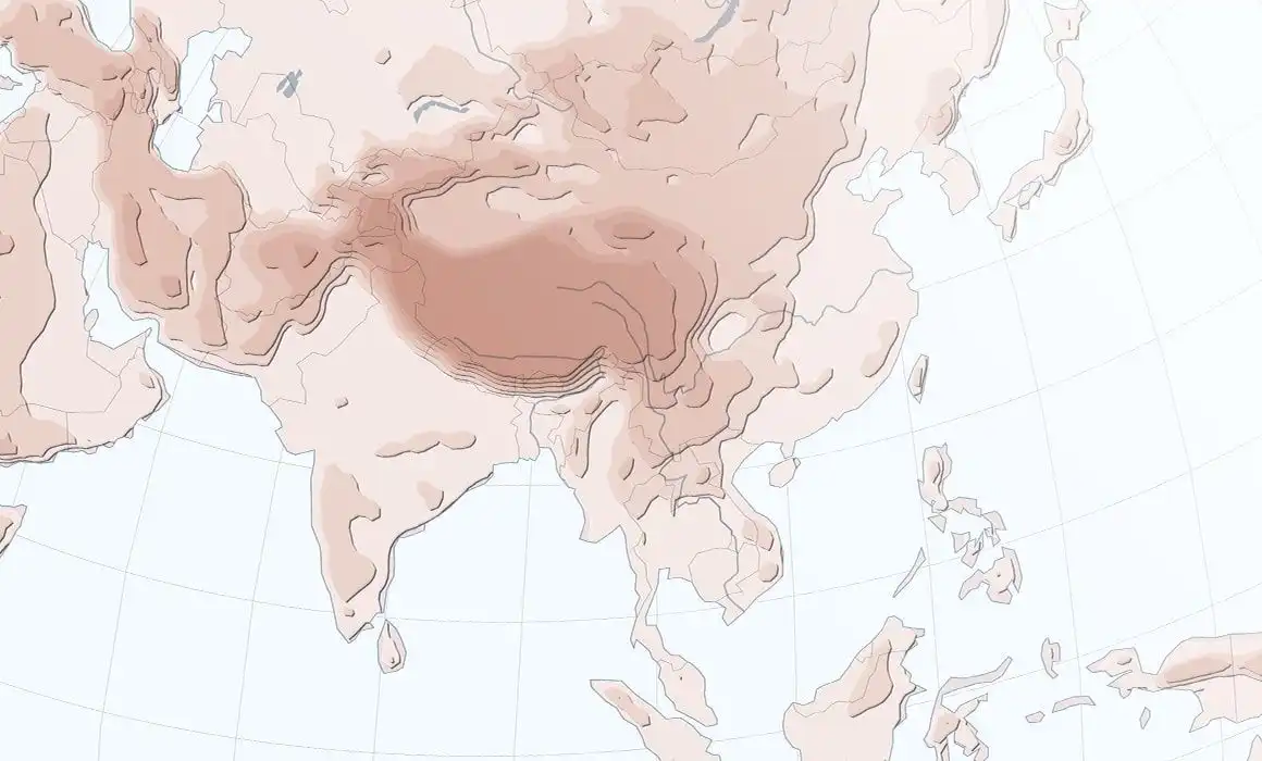
Graticule is a free, onlinetool . It comes with data (cities, relief, borders, etc.) that is royalty-free. The Cartography Studio is part of Science Po’s mission to disseminate educational resources.
Why did we give such a name? Graticules are grid-like graphic representations composed of meridians and parallels that allow you to visualize coordinates and better appreciate a cartographic projection. The perfect name for this tool!
For more information
Explore Sciences Po's Cartography Studio (FR).
Parts of this text appeared in French in an article published August 22, 2022 (FR) on Sciences Po’s website. We are grateful to the Communications Department for sharing it with us, and in particular, to Anne-Laure Henault-Renard, Editorial department manager.