Home>Research and Publications>Mapping the Region
Mapping the Region
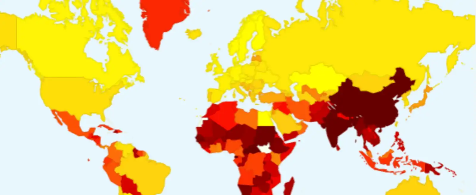
Most of the maps and data visualizations created by Sciences Po for various projects are distributed via our map library. All these images can be freely used for educational purposes, by both teachers and students. However, any commercial use must be subject to a reproduction rights request.
Replay

Facing Environmental Crisis in South Asia: Challenges and Responses
Replay the inaugural meeting of the Sciences Po South Asia Program on Vimeo